2nd May – 19th May Amongst the oldest on earth, The Great Smoky Mountains escaped the Ice Age glaciers as they stopped their southward journey just short of these mountains. A smoke-like, natural, bluish haze and mist-like clouds that rise following a rain storm, provided the inspiration for the name Smoky Mountains. The Cherokee Indians described them as ‘shaconage’ meaning ‘ blue, like smoke’ and for these Indians, the Great Smokies have provided a refuge and a mythical and spiritual homeland for their people. Sadly today, a haze that washes out the colours and textures and hides the horizon, is very often caused by pollution.
Looking out across the Smoky Mountain landscape fading far into the distance, how did this land come to be? The Cherokee had a lovely story………
“They carefully got all the mud and they laid it out on the rocks. And when it was dry enough, Grandfather threw it out into the water, and it became land. And the buzzard flew with his great wings. Each time when his wings went down it would make a big valley, and each time the wings would go up, it would make a big mountain.”
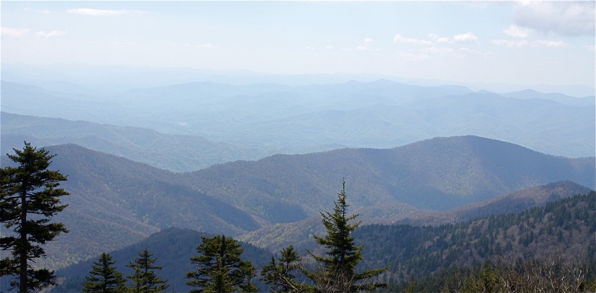
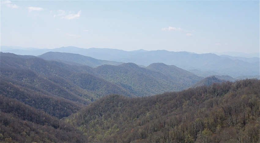
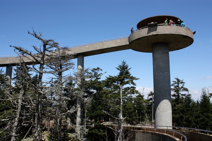
A paved road takes us to Newfound Gap at 5,046 ft. and which marks the Tennessee and North Carolina state line. A turn off to a parking area and then a half-mile steep climb takes us even higher to Clingmans Dome, a sacred mountain to the Cherokees, where The magic Lake was once seen and which according to The Great Spirit, would make the old and sick well again. A spiral ramp leads up to the look-out tower…..providing panoramic views from this highest point in the park. The high altitude forests surrounding the tower, are comprised mostly of Red Spruce and Fraser Fir but it is a forest under stress, with many of the dead trees victims of acid rain and an insect known as the balsam wooly adelgid which rapidly kills the firs by feeding on the tree sap.
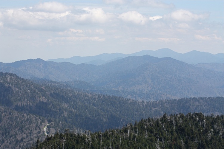
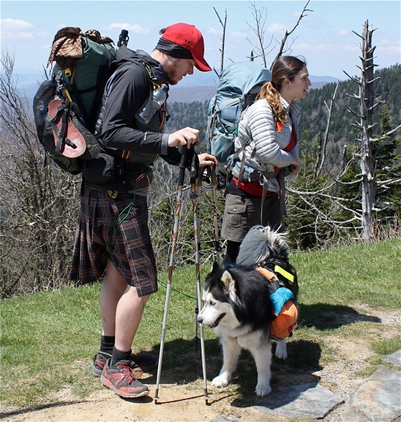
Below us, the famous Appalachian Trail winds its way some 70 miles along the Great Smoky’s crest and the Tennessee-North Carolina border, just a small part of its 2,174 mile scenic length that stretches from Georgia’s Springer Mountain to Maine’s Mount Katahdin. It was great to chat with this couple and their dog who had stopped here for a breather before continuing on their way north along this trail, back to their homes in Maine.
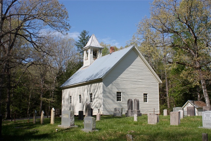
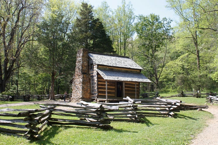
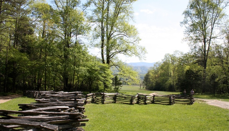
From here we follow Little River and Laurel Creek roads to Cades Cove in Tennessee. The 11 mile loop road here traces its history to 1818 and there are many interesting sites to stop at such as the Primitive Baptist Church, organized in 1827 and which guards a small graveyard, where time and weather have erased many of the names from the stones. Also, a log cabin hidden amongst the trees that belonged to John and Lucretia Oliver. They were amongst the first settlers to arrive here and it’s easy to see what drew them to this place when you stand in the porch and see the beautiful green valley and distant mountains spread out before you.
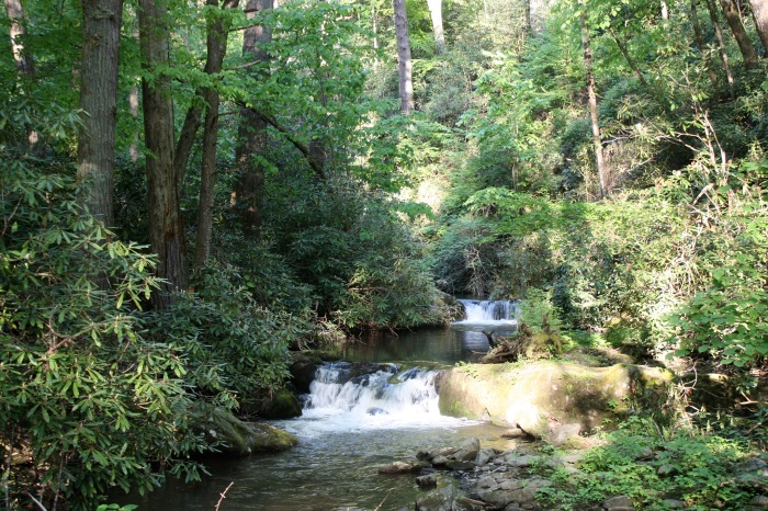
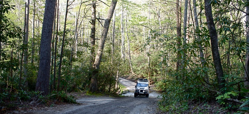
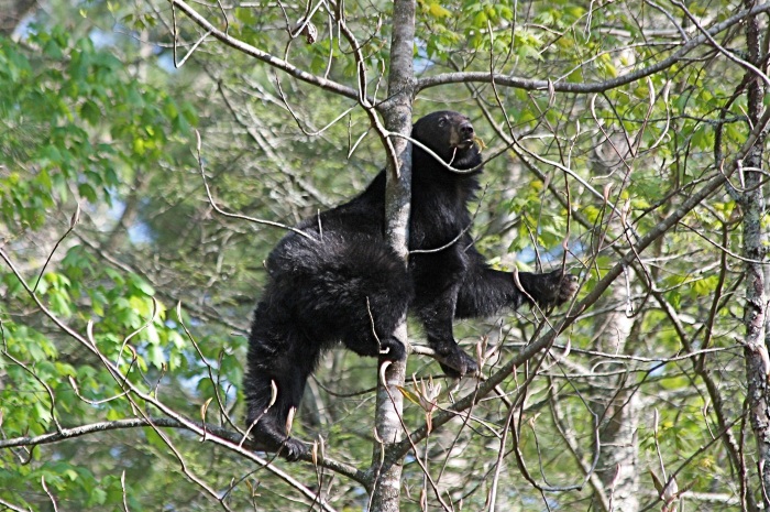
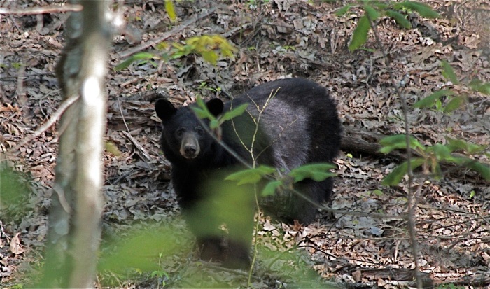
From Cades Cove we take Parson Branch Road, a narrow, winding, one-way dirt road carved out of the wilderness where forests and streams meet the track and where we encounter a black bear with her two cubs. To our amazement she leaves them at the bottom of a chosen tree whilst she nimbly climbs it and helps herself to some large and obviously, very tasty flowers.
Parson Branch Road will eventually take us out of the Great Smoky Mountains National Park, but not before we leave Tennessee and cross the state line back into North Carolina with views of Fontana Lake, a ribbon of blue nestled amongst forested hills.
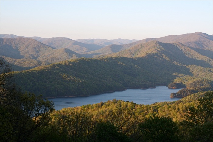
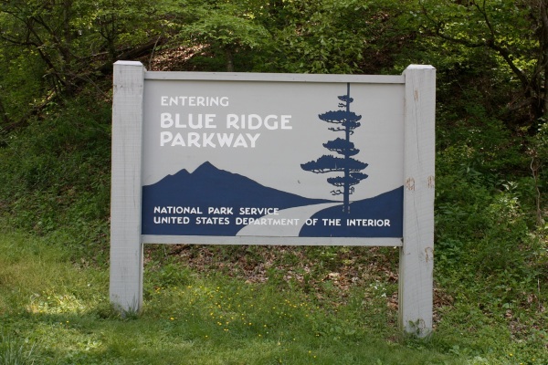
Another good night camping at the Great Smoky Mountain Meadows Campground just outside Bryson City before we set out the next day for the start of the Blue Ridge Parkway, another of America’s favourite scenic drives, extending 469 miles along the crests of the Southern Appalachian Mountains and linking the Great Smoky Mountains that we have just left and the Shenandoah National Park in Virginia. Once again, this slow-paced and leisurely winding drive passes numerous viewing stops, offering spectacular long-range views of mountains and lowland as it climbs or descends to different elevations.
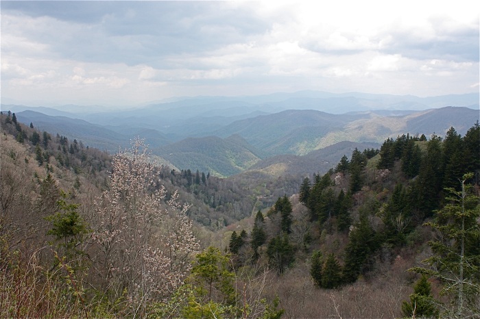
Woolyback Overlook – 5425 ft.
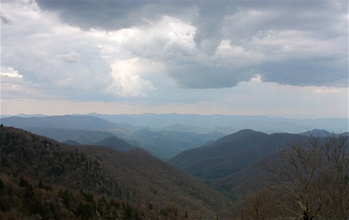
Brooding clouds cover Roy Taylor Forest Overlook – 5580 ft.
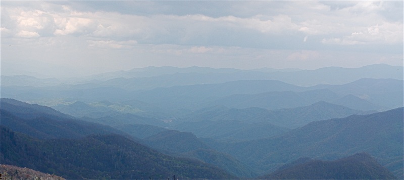
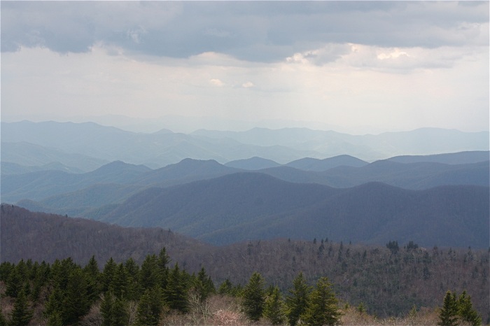
Highest Point on the Blue Ridge Highway – 6053 ft.
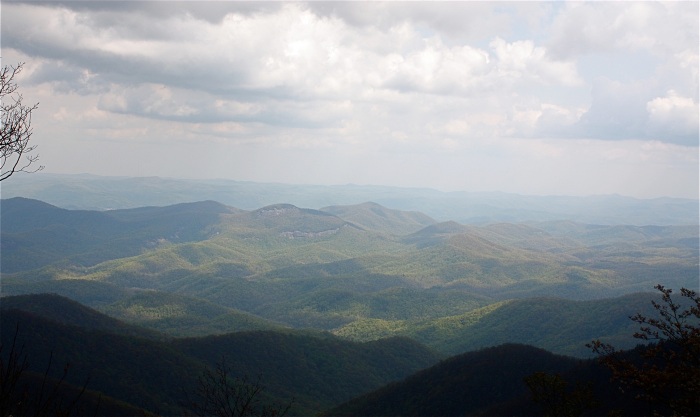
View looking across the Pisgah Forest.
We stop at Mount Pisgah Campground at just over 5000 ft. Practically deserted, so plenty of space and very peaceful but no electricity on the sites so it could be a cold night after the very warm daytime temperatures. Not only however, does the discovery of hot showers in the restrooms make this a great campsite after a long day, but the spring flowers and wildlife here also make this a very special place……..


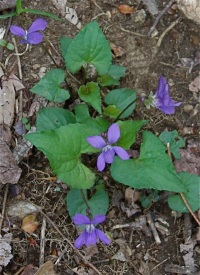



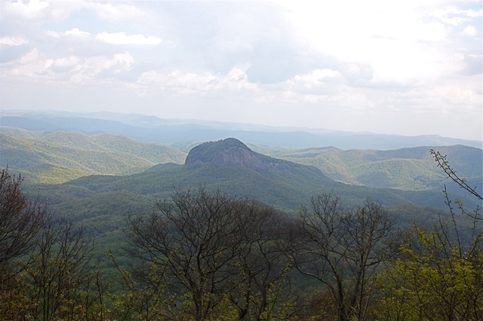
Looking Glass Rock has been a landmark in these mountains for generations.
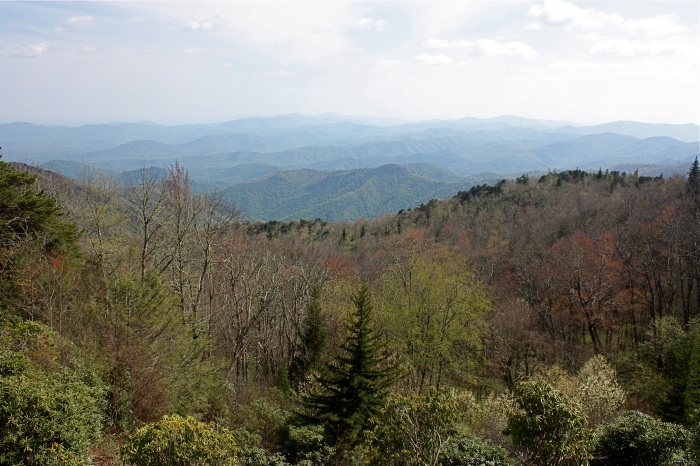
Green Knob Overlook – 4760 ft.
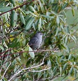
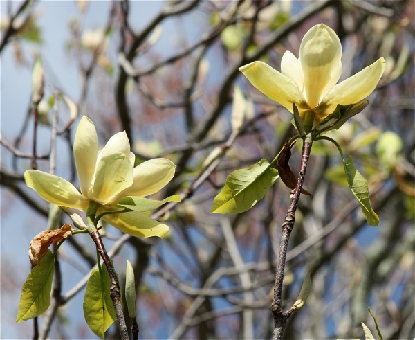
Even at these higher elevations Spring is arriving with Rhododendrons and the beautiful yellow petals of the Southern Magnolia tree beginning to flower,

We camp at Linville Falls Campground amongst shady trees and green meadows edged by forest and follow a trail that takes us to Chimney View, where both the upper and lower falls can be seen. Beginning high amongst the steep slopes of Grandfather Mountain, the Linville River begins an almost 2000 ft. descent through a rugged and spectacularly beautiful gorge, known to the Cherokee Indians as ‘river of cliffs.’
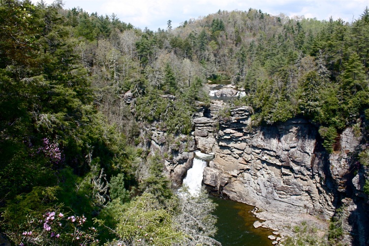
We drive the Linn Cove Viaduct, once a 7 mile unfinished section of the Blue Ridge Parkway that was delayed for 20 years whilst environmentalists, landowners, engineers and architects combined their skills to work out how best to preserve the scenic and fragile environment that covered the slopes of Grandfather Mountain.
A stop at The Northwest Trading Post and we are stocked up with some delicious squares of Rocky Road and Vanilla Chocolate homemade fudge made in Nancy’s Candy Store in Virginia, a jar of Sally Mae’s Blueberry Jam from N. Carolina and a tube of Naked Bee’s Orange Blossom & Honey Hand and Body Lotion that smells divine.
We cross the state line into Virginia and make a call at the Blue Ridge Music Centre, where sounds of of the fiddle, banjo and guitar welcome us, aiming to provide the visitor with an insight into the history of ‘The Roots of American Music,’ which is said to be a natural part of these mountains.
Not far from Meadows Dan, is today, one of the most photographed features on the Blue Ridge Parkway…….the very picturesque Mabry Mill, photos of which can be found on numerous postcards, as well as gracing the pages of countless calendars and books.
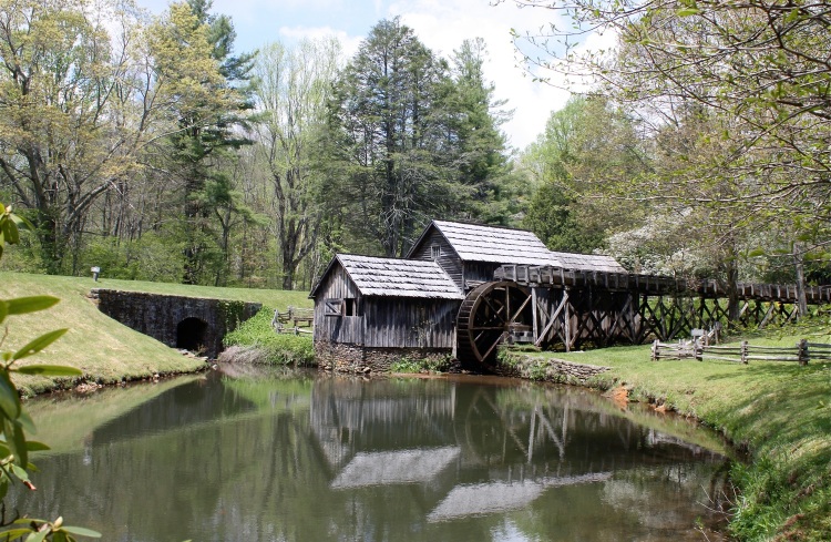
This mill was built about 1910 by Edwin Mabry, a ‘ jack-of-all-trades ‘ who was talented in many skills, having been a chair-maker, a miner, a blacksmith and a farmer. Ed and his wife Lizzie, operated the mill until about 1936, grinding corn and sawing lumber for their neighbours, thereby creating a gathering point for the local community. We have lunch in the nearby little restaurant and buy ice creams to take outside and eat in the sun. Here we join up with Randy Galleon, a great guy enjoying the freedom of being out on his gleaming chrome and white Harley. He tells us that he is in the process of making an extra seat for their little dog Princess, so that his wife will accompany him too! Safe travelling Randy!

As we slowly descend we have views of the Roanoke Valley, white farmsteads nestling amongst lush, green fields and dense forest.
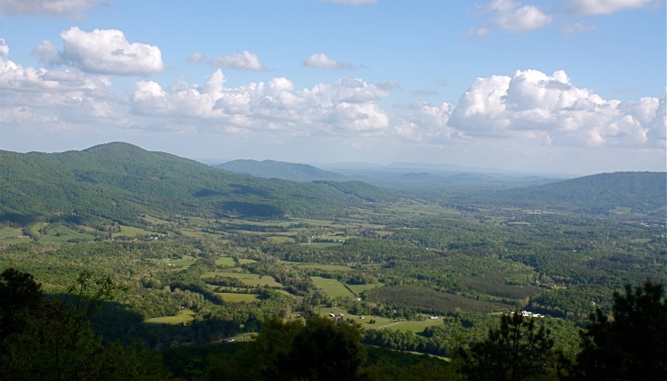
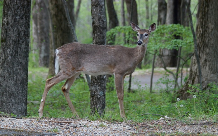
The big town of Roanoke provides us with some essentials, a super market, the chance to check emails and get some cash and fuel. From here it’s on to Otters Peak Campground where we are the only campers on the lower level. Deer wander through the trees just before dusk and coyotes howl in the distance after dark. In the morning, an interesting talk with one of the park rangers, reveals that he has been living in a log cabin on the Parkway for 27 years, with no hot water and using a bow and arrow for hunting.
After leaving Otters Peak, we pass over Virginia’s highest elevation on the Parkway at 3950 ft. and then descend to the beautiful James River where the Blue Ridge Parkway dips to its lowest elevation, just 640 ft. above sea level. Named after King James 1st, this huge river with abundant water and warmer temperatures, supports different plant and animal life to other areas on the Parkway.
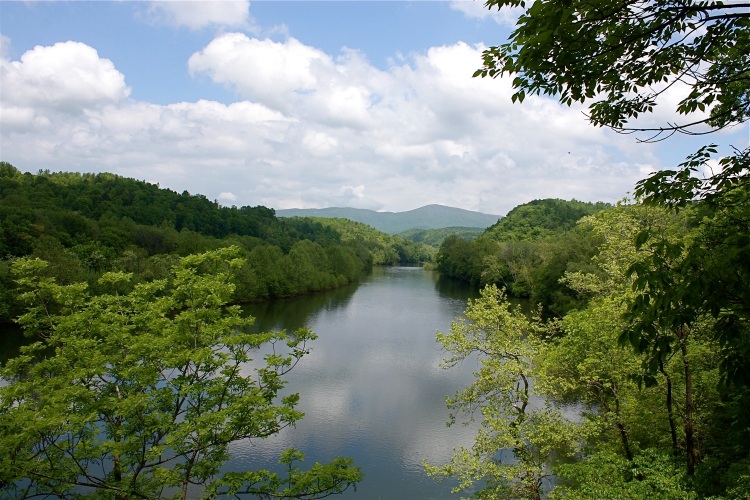
We only have about 20 miles left before we reach the northern end of the Blue Ridge Parkway. From here we begin the Skyline Scenic Drive through the Shenandoah National Park, a narrow mountain road with still more beautiful, panoramic views to the horizon and over 500 miles of trails. The park is a sanctuary for plants and animals. Hunting is prohibited, although sadly we learn that illegal poaching is still continuing.
Established in 1935, Shenandoah runs for just over one hundred miles along the crest of the Blue Ridge Mountains, with the Appalachian Trail running roughly parallel to it for nearly its entire length. Unlike most other parks, Shenandoah was a place where settlers had lived for over a century, and to create the park, state officials acquired over 1,000 privately owned tracts of land and donated them to the nation.
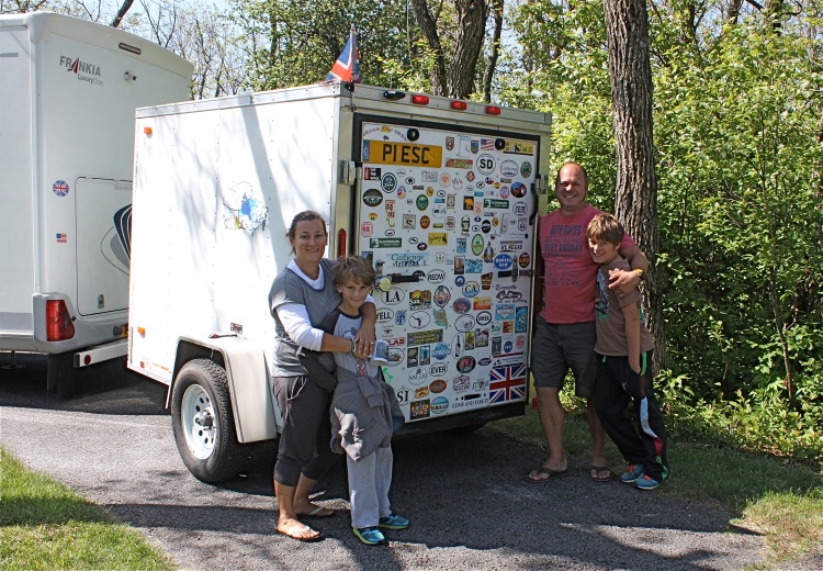
Loft Mountain Campground will provide our first night of camping on the Skyline Drive and whilst looking for a camping site, we meet up with the Wickens family in their big motorhome which they shipped from Surrey, England. Clare and John and their 2 great boys Charlie and Will, who have been doing home schooling whilst away. But what an education their journey has been! Both boys talk enthusiastically about this and show us their diaries, which prove just how knowledgeable they have become. We enjoy a seat and a cup of English tea in their spacious motorhome and share stories. It’s a cold night camping however, at just under 3500 ft.
We wish you guys a safe journey back home and a big thank you to John for offering us their single gas ring, fired by small propane gas canisters that can be bought in the USA. A really kind offer, as our last, large European canister that we are unable to get filled in the States because of the different fittings, is feeling very light and certainly won’t last to the end of our trip. Many thanks everyone. Much appreciated!
Spring begins in the valleys of Shenandoah and then also has to slowly climb up the mountainsides. Today, the marks of early lumbering, grazing and farming have mostly disappeared and the mountain slopes appear densely forested and so green.
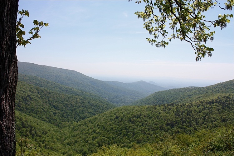
Ivy Creek Overlook 2885 ft.
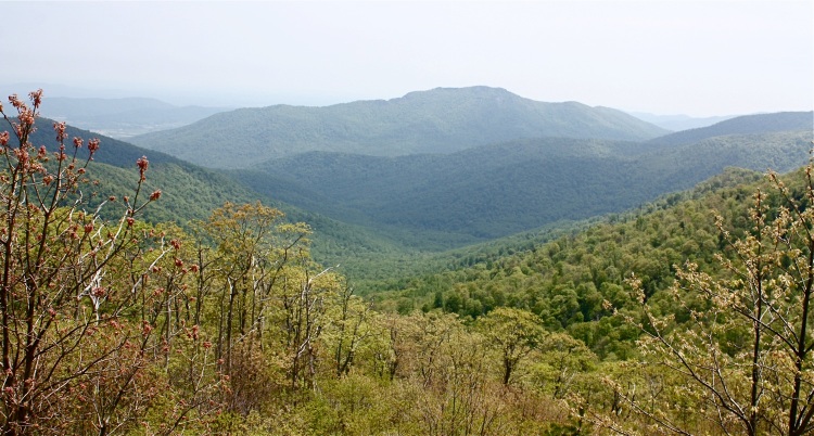
Pinnacles Overlook 3320 ft.
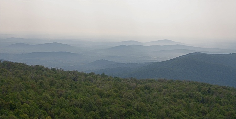
Hazy mountains at Range View Overlook, after leaving Mathews Arm Campground. Many of Shenandoah’s highest peaks can be seen from here.
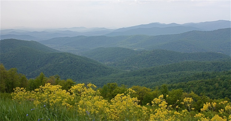
Spring is arriving!
But as we near the end of Shenandoah’s Skyline Drive, the view is beginning to change. Farms and agricultural land, housing and commercial businesses are taking over the woodland and pastures down in the valley. A changing landscape, and we wonder what it will look like in another 20 years time!
The last weeks have rewarded us with unexpected wildlife sightings, signs of spring amongst the flora, spectacular, changing vistas and vast, panoramic views, but now, as these fade into the horizon’s blue haze, we have to try and adjust to being back amongst heavy traffic and impatient drivers in Front Royal, our first big town.
The coming weekend will be a busy one with Memorial day Celebrations and most people will be taking a holiday outside of town. On to Interstate 81, which could be a highway anywhere in the UK with familiar names now appearing on our map such as Winchester, Rochester, Dover, Aberdeen, Bradford……to name just a few.
We decide to try and make it up to Niagara Falls before the big holday weekend.

So good to hear from you once again. We were in San Blas Mexico once agin for the winter. We arrived home to unusualy cold wet weather 2 weeks ago. We no longer have our little dog Benji he died from a horrible tic related disease from tropical bugs. His medicine for tics did not affect these ones. Ana from the campground in Sta. Ana Sonora away last July from cancer. Edgar is sad and lonely and also does no longer have the income that her social security provided. So sad. Please keep your great blog coming we so enjoy it. Sharon and Gene from Canada.
How lovely to hear from you both and we are so glad that you are enjoying our blog. But your news was very sad. We are both so sorry that you have lost little Benji, treasured pets become part of the family and we can imagine you were heart broken to lose him. We remember our short time at Santa Ana, Sonora so well. Edgar and Ana were delightful and so kindly opened up a bathroom especially for us as we were the only ones without one in our vehicle. Ana was not so well then but very brave and so it was very sad news to hear that she has passed away leaving Edgar a lonely man. We are glad for you that you were able to enjoy winter sunshine down in Mexico and hope it will also soon be warmer in Canada. It has been unseasonably cold here also in the UK and how we miss our traveling! We both send our very best wishes.